Verified views (AVR) for UK planning applications
In a nutshell
A verified view (or AVR) is an image for a planning application in the UK: a real photograph of the site with the 3D model of your project placed precisely in it and its methodology documented. It leaves no room for artistic freedom, unlike a marketing rendering. With the viewpoints, the model and your deadline, you receive a fixed-price proposal within 24 business hours.
What a verified view is
What sets it apart from a marketing rendering and who sets the level.
A verified view combines a real photograph, taken from an agreed viewpoint (often set by the local planning authority), with the 3D model of the project placed with precision using topographic survey control points. They are used in planning applications and in visual impact assessments of urban settings (TVIA, Townscape and Visual Impact Assessment) and of landscape and visual impact (LVIA, Landscape and Visual Impact Assessment). In London, the London View Management Framework (LVMF) defines protected views that often shape these studies.
They differ from a marketing rendering in that they allow no artistic freedom: what you see has to match measured reality, and they come with a documented methodology. There are different levels of representation, from a simple outline (wireline) or a volume (massing) to the photorealistic rendering with materials. The level required is set by the authority or your planning consultant.
What our work includes
From the photography and the survey to the methodology document.
Site visit and photography
We can take care of the photographs of the site from the agreed viewpoints, or work with those provided by your team.
Survey or data from your surveyor
We can take care of the topographic survey, or start from your surveyor's data.
Precisely placed model
The 3D model of the project is placed on the photograph using the control points and checked to confirm it matches.
Level of representation
Wireline, massing or rendering with materials, according to what the local planning authority asks for.
Methodology document
If needed, we deliver the document that explains how each image was produced.
Marketing images
If you want them, we make them from the same model.
What we need from you
Four items; if you do not have the survey, we do it ourselves.
- The viewpoints or the requirements of the local planning authority, if you already have them.
- The model or drawings of the project.
- The survey data, if it already exists. If not, we take care of it.
- The deadline for the application.
How we work, step by step
Four steps and why we do not publish a timeline for this service.
You send us what you have and within 24 working hours you receive a fixed-price proposal. We do not publish a timeline for this service: it depends on the number of views and the date of your application.
- Agree the viewpointsstep 1
- Photography and surveystep 2
- Model placement and checkingstep 3
- Images and methodologystep 4
Studio renderings, not verified views
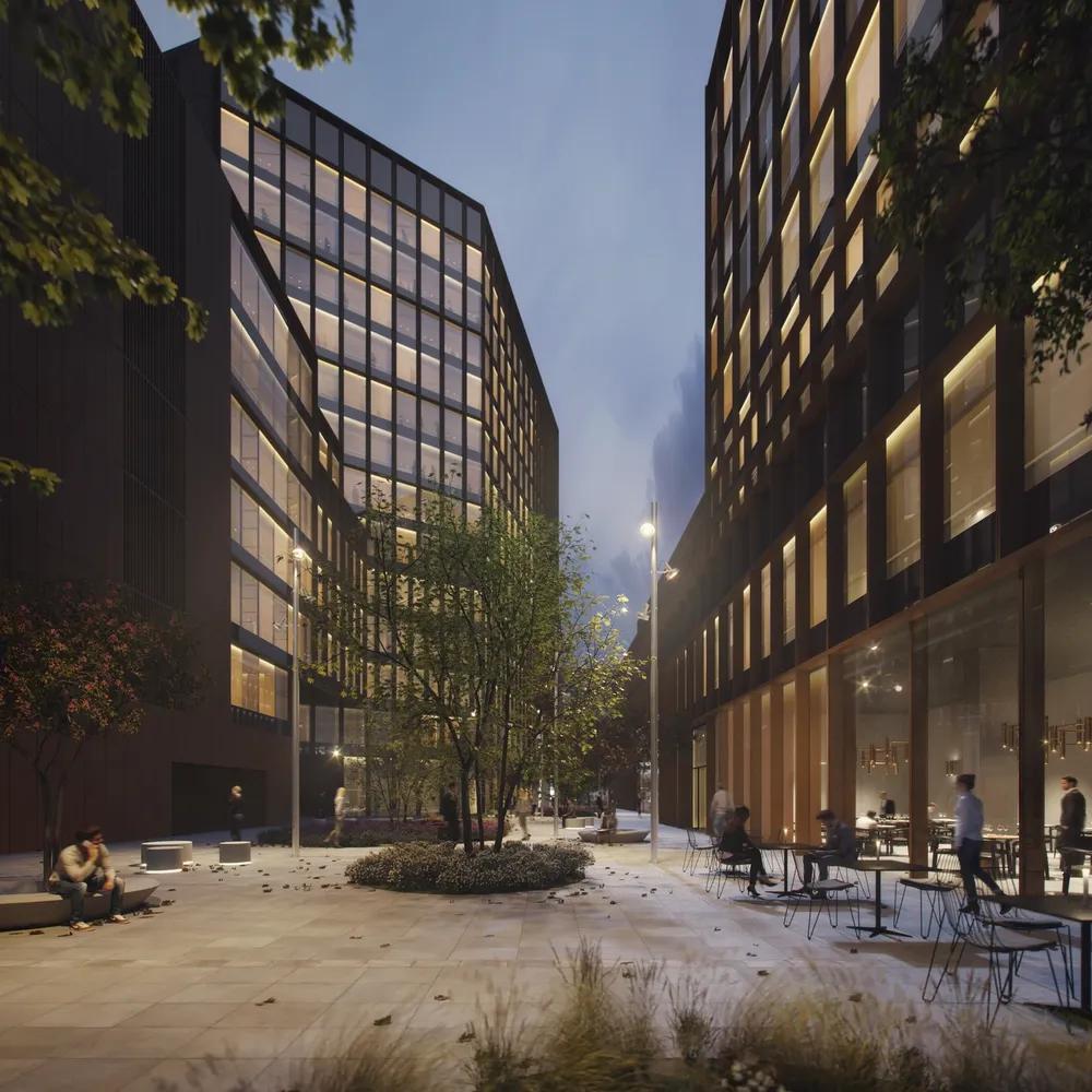
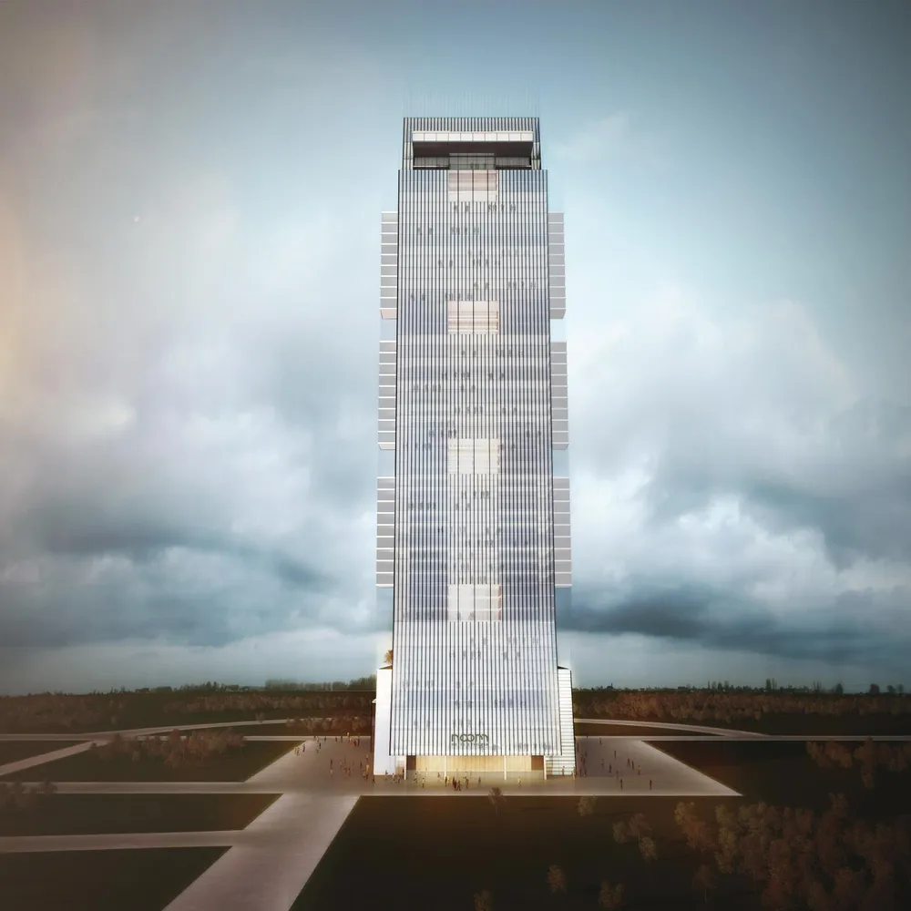
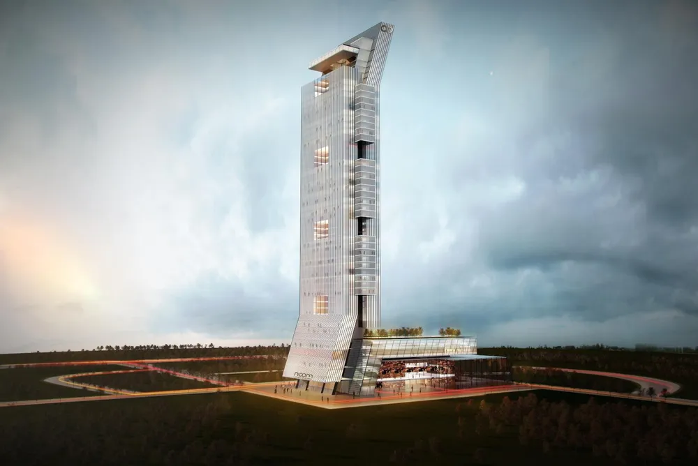
We do not show verified views yet; this is how we work on urban architecture.
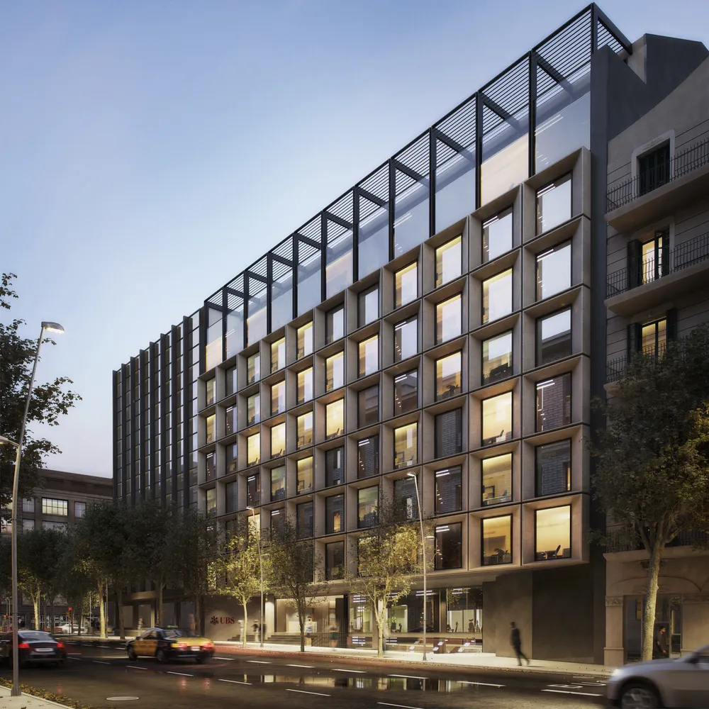
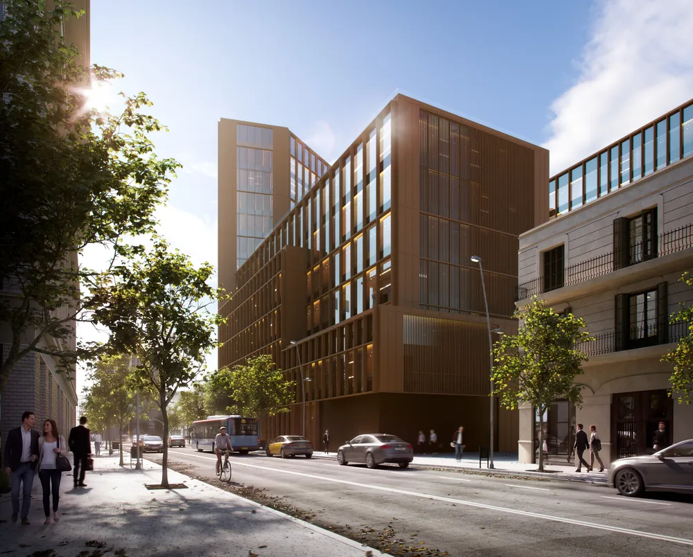
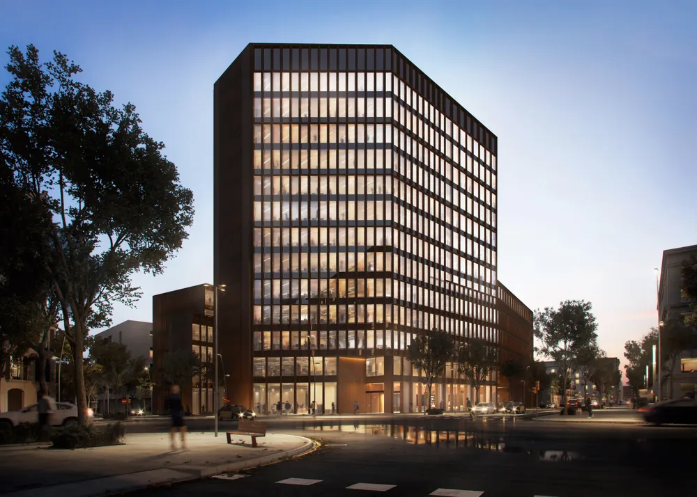
We do not show verified views in the portfolio yet. These are exterior renderings of urban buildings by the studio, so you can see how we handle architecture in its setting.
Frequently asked questions
What it is, when it is required, what we do and how it is paid.
What is a verified view?
It is an image that combines a real photograph, taken from an agreed viewpoint, with the 3D model of the project placed with precision using topographic survey control points. It is used in planning applications and in visual impact studies (TVIA and LVIA). It is also known as an AVR.
How does it differ from a marketing rendering?
A marketing rendering aims for the best possible image and allows artistic freedom. A verified view does not: it has to match what was measured and comes with a documented methodology.
Does my application need one?
It is often requested by the local planning authority, depending on the site and the project. Check with your planning consultant and, once you know which views and what level of representation are required, we will send you a proposal.
Can you do the photography and the survey?
Yes. We can take care of the topographic survey and the photographs of the site, or work with those provided by your team or your surveyor.
Do you deliver the methodology?
Yes, if needed we deliver the methodology document together with the images.
Do you work from Barcelona for projects in the UK?
The studio works remotely from Barcelona with clients in other countries. For the photography and the survey we travel to the site or work with the client's surveyor. We receive the material by email or link and share progress the same way. The usual arrangement is to split the payment in two parts, on accepting the proposal and on delivery.